Map your urban Nature Network
03-09-2026
Get started with...
Case study
Guidance
©National Trust Images/Rebecca Hughes
03-09-2026
Get started with...
Case study
Guidance
©National Trust Images/Rebecca Hughes
People need nature in towns and cities. It cleans the air and shades our streets, reduces the risk of flooding and makes us feel better.
Nature meanwhile needs a network of connected, high-quality habitats to build resilience and provide these benefits (or ‘ecosystem services’) for local communities.
Across the UK, different approaches are used to identify where existing habitats are, and where there are opportunities to enhance and connect them.
This resource is primarily for places in Scotland designing and implementing a network using the Nature Networks Framework, with tips and learnings from the team of experts and residents who created Scotland’s first urban Nature Network in Edinburgh.
If you’re not based in Scotland, you might still find the general principles and processes they followed helpful. Wherever you are, be sure to consider the policy and planning context in your place.
Expand the boxes to find out more about the benefits of connected habitats and how to get started with your Nature Network.
Edinburgh brought together a range of experts and city residents to create an integrated map of habitats and their benefits for people and nature.
They use a mapping tool to show where wildlife needs help to move and flourish in changing conditions. This tackles the loss of biodiversity and helps the city adapt to some of the impacts of climate change like flooding.
Watch the video to hear how the team combined scientific data with local knowledge and practical, on-the-ground considerations to transform parks, green spaces, rivers, lochs and shorelines.
Then scroll on to hear about early pilots and how the Network is benefiting people and nature now.
©National Trust Images/Rebecca Hughes
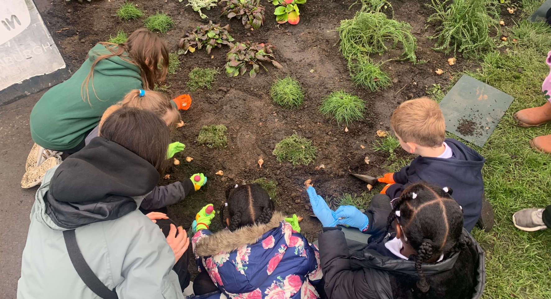
Here's how a Nature Network pilot supported two of Edinburgh City Council’s core priorities - creating good places to live and work and tackling the climate and nature crisis by 2030.
Members of the team from the City Council, Scottish Wildlife Trust and University of Edinburgh who helped create Edinburgh’s Nature Network share their experiences to help you get started.
This guide was developed as part of the Future Parks Accelerator project in 2021. It’s designed to be followed and revisited in the way that’s most appropriate for your place.
If you’re in Scotland visit the Nature Networks Toolbox for more guidance and support.
It’s crucial to have a broad range of expert stakeholders involved from the outset, from Geographical Information System (GIS) mapping specialists and ecologists to people and community engagement teams.
“We joined forces and got everyone working collaboratively together in the city” says Donya Davidson, who led the development of the Nature Network at Edinburgh City Council. “They became ‘champions’ for the project and would spread the word around to other stakeholders. We’d never taken a whole landscape-scale approach before and it really helped us in the process.”
Consider specific types of expertise needed for your place, such as woodland, grassland and wetland. You’ll need people who can identify opportunities to change how the land is managed to benefit people and nature.
To create Nature Network maps you need to collate a number of different data layers.
You can start by using a general map of the geographical area, adding layers of habitat classification data including priority habitats (see next step).
“It was great to work on a project that aims to have real life impact” says Marc Metzger, Professor of Environment and Society at the University of Edinburgh and part of the project team. “There were meetings with policy folk from the local authorities who expressed concerns or identified opportunities that I would never have thought of.”
These datasets won’t necessarily include the kind of green space you are likely to find in urban areas. Therefore, an important extra step is to add an urban habitat layer with things like private and public gardens, cemeteries and churchyards, parks, playing fields, green corridors and allotments.
Some of this data is available on Ordnance Survey Open Greenspace. To carry out more detailed analysis at a garden scale, you might need to use licensed OS Mapping resources.
The network map should include priority habitats, which are considered to be at greatest risk of being lost or threatened and require conservation. These can be found on the UK Biodiversity Action Plan (BAP) priority list or the equivalent in your area.
“Conservation and protecting nature is actually all about people, because people are the ones who have to change some of their behaviours in order to protect nature” continues Marc. “It’s people who will fund conservation measures and who want to live with or near nature and green space.”
It’s helpful to plot areas with statutory protections on the map too. These could include Sites of Special Scientific Interest (SSSI), Special Protection Areas (SPA), Special Areas of Conservation (SAC), Marine Protected Areas (MPA) and Ramsar areas (wetlands of international importance).
Also, identify any locally designated sites, such as nature reserves and local biodiversity sites.
The benefits to people from habitats and wildlife are known as ecosystem services.
There are seven key ecosystem services specific to biodiversity: air purification, noise regulation, temperature regulation, water purification, flood regulation, health and wellbeing, and insect pollination.
Whilst it’s not mandatory to include them on Nature Network maps under Scottish guidance, they can be a useful piece of the puzzle to identify and prioritise actions.
“People benefit from nature in so many different ways” says Donya. “We reply on insect pollinators for food and trees to prevent flooding so that our homes don’t get destroyed.”
Defra’s introductory guide to valuing ecosystem services is a good place to start.
Natural England’s Healthy Outdoors guide suggests ways to measure the benefits of nature and time outdoors for health and wellbeing that might be useful for other places too.
Look for places where there is a real likelihood of being able to make positive changes to habitat.
“We used the maps especially for helping us develop our long-term plans” says Linda Anglin, City of Edinburgh Council’s Senior Manager in Parks and Green Spaces. “We can look at the areas where projects are already underway and also see where there’s nothing planned. From here, we can look to see what we can do in these areas.”
You’ll need information from the local authority about open spaces, future housing and derelict land for this step. It’s also a chance to reach out to landowners and managers who are keen to allow their land to be used as part of the urban Nature Network.
Consider where it is physically possible to make interventions too. For example, a block of flats may not present an obvious opportunity until you factor in its surrounding gardens and roof.
Using GIS analysis, combine all the data you’ve collected as layers on a map of your urban Nature Network area.
This will help you and your team explore the connections between the data in the different layers and start to identify key opportunities for interventions or actions.
“The City of Edinburgh Council incorporated our recommendations into their local development plan” says Dr. Cathleen Thomas, who oversaw the development of Edinburgh’s Nature Network at the Scottish Wildlife Trust. “For example, they might incorporate green roofs or green walls, sustainable urban drainage systems, rain gardens – whatever it is that improves the site for people and wildlife that live there.”
Organise engagement sessions (online or in person) with local partners (such as ecologists, local government and community representatives, landowners and other experts) to share the mapping work to date, test and enhance it.
Cathleen adds “We found innovative ways to host online workshops for people to view the maps and comment on them. It was a challenge that required quite a lot of technical training, but it helped with our participation levels – some came to every single workshop!”
Gather their suggestions on the most effective and feasible interventions or actions to create or enhance your urban Nature Network.
Once actions have been identified, they need to be prioritised so that resources (such as funding and staff) can be directed effectively.
“The maps showed how much green space the council had and could do more with” says Marc. “In fact, not just the council but homeowners who could improve their gardens, businesses that could improve the grounds on their estates, and so on.
“Then, the focus was on prioritising where future improvements happen and who should be making them happen.”
Variables to consider in the prioritisation process include cost, scale, time and anticipated benefits for people and wildlife.
Once actions have been prioritised, you’ll need to create a delivery plan to guide the creation of your urban Nature Network.
There are many considerations involved in this, and you’ll need to work with partners, including local communities, to get it right.
The process requires detailed scoping and consultation; you’ll need to think through the how, where, why, who, when and what for each action. For example, if you decided to plant more trees in a park, you would need to think about where in the park to plant them, whether you’d plant them individually or in groups, what species you’d plant, where you’d source them from, etc.
“Once we identified all the different actions it was important to make the maps accessible and engaging for the public, so that they could play their part – we need our citizen scientists!” says Donya.
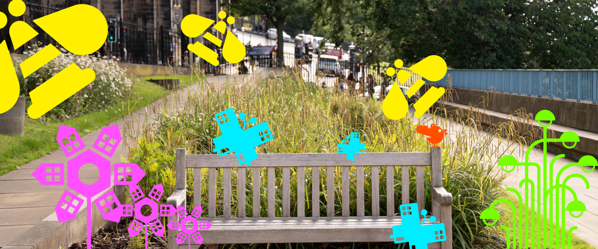
Be proactive in how you communicate the network. Tell residents why the creation of joined-up spaces for nature matters and help them understand the part they can play.
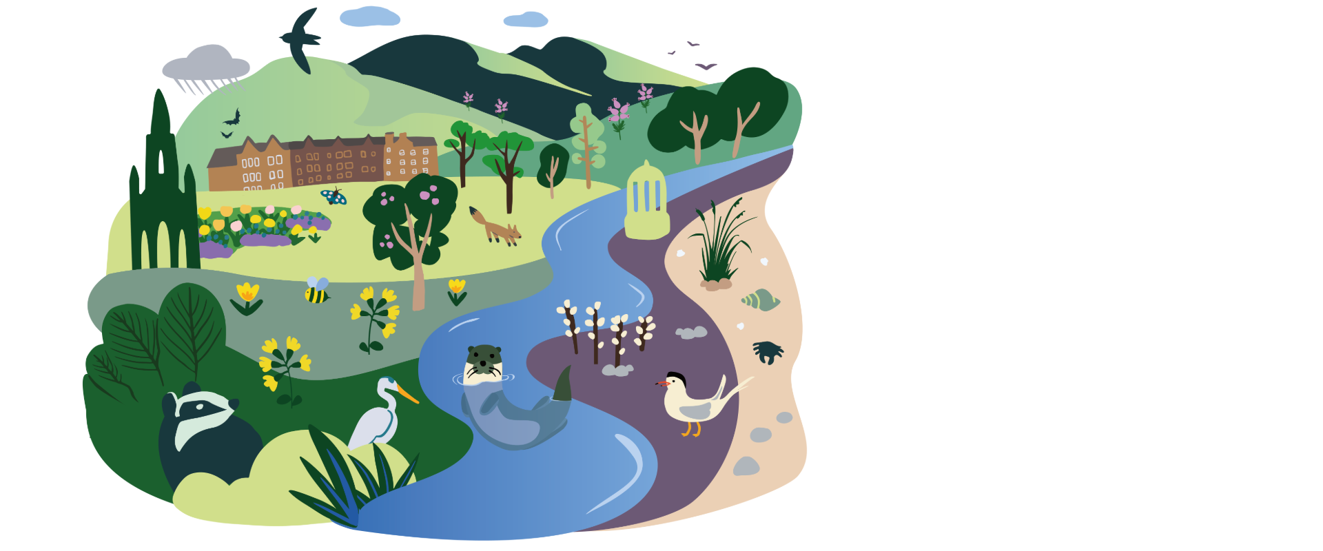
“We have developed a suite of signs and illustrations for Nature Networks with the same look and feel as other projects under our Thriving Green Spaces strategy” says Alexandra Hoadley. “This makes it feel familiar, and all the illustrations are based on the species and colours of Edinburgh.”
The Edinburgh Nature Network signs and logo are also available to partners and the community to use, to create a sense of partnership and collaboration.
The road to greener, thriving towns and cities looks different across the UK. Click to find out more about tools for urban nature recovery in each of the UK nations.